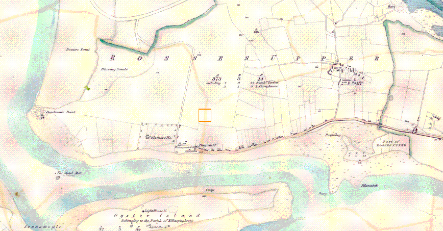
ROSSESPOINT UPPER 1837
The 1837's first edition of the Ordnance Survey's 6-inch maps is now available.
It shows Sligo in the boundaries before the Local Government reform of 1898, i.e. before the DEDs east of Ballina (Ardnaree North, Ardnaree South Rural, and Ardnaree South Urban) were transferred from Sligo to Mayo.
Sligo County Library
http://www.sligolibrary.ie
Upper Right hand corner : -
"LOCAL MAPS COLLECTION"
Rosses Point
(http://www.sligococo.ie/library/maps/1837/index/index.htm)
ROSSESPOINT UPPER 1837